


Buying Guide for GNSS / GIS equipment |
|
| Findings: | Considerations: |
|
|
|
There is not a direct relationship between cost and precision
GPS + ‘Data Collector’ + training + service = total cost of the equipment
|
|
 +
+
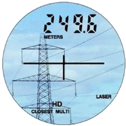
Offset GPS points? |
|
 |
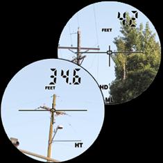 |
| GPS, not everywhere … The deported seizures GPS points may be necessary … and faster! | |
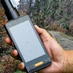
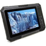
The screens of the “field terminals” |
|
 |
|
| Comparison between screens: PDA 320 x 240, 680 x 440 PDA, Tablet PC in 1024 x 600 The input mode must be active … capacitive less accurate! |