


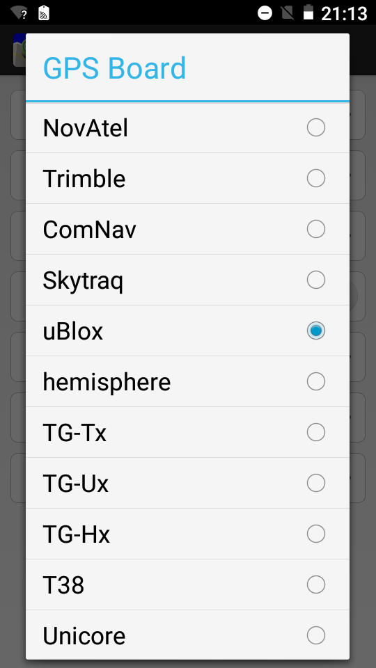
HyperGis is a powerful GNSS data entry and manipulation software,
operating with different GNSS chipsets (Trimble, Novatel,
Hemisphere, ComNav, Skytraq, Unicore and NMEA)

Hypergis is a versatile software which has the function of generating sig and topographic surveys, the software has various interfaces such as the creation of projects, layers, import and export function, management of parameters (GPS, Layers , etc)
Creation of projects
It is easy to create projects with menus with choices, image, video, etc.
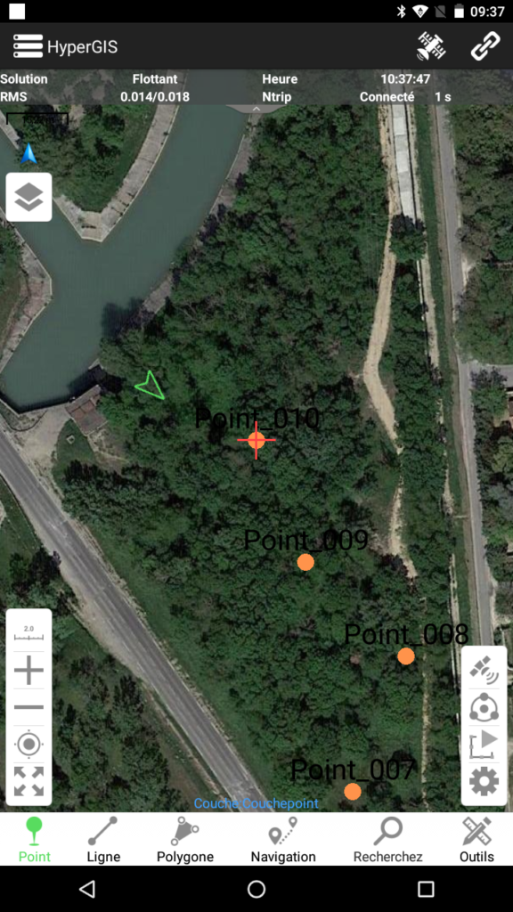
The values of quality, RMS, DOP, number of satellites etc. are integrated into the measurement
Diaper seizures
You can create as many layers as you want
Import Export
It is possible to import / export layers.
Settings
This section is rich.
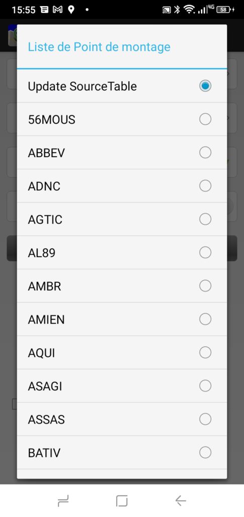
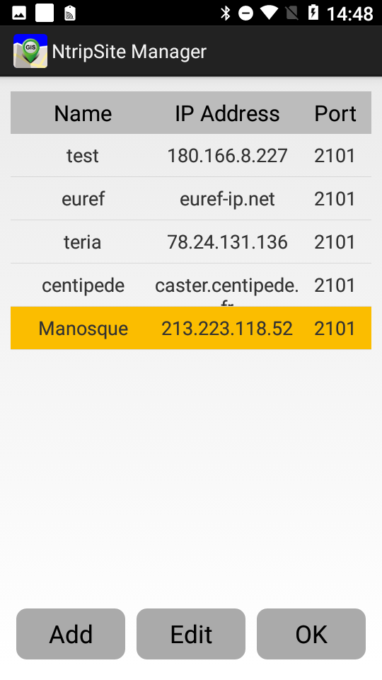
You can adjust the connection parameters,
The integrated NTRIP client and place several providers (free to use such as Euref, centipede, IGS, Unavco, etc. or private networks)
A navigation function that allows you to find buried points, for example, or to stake out from planned elements.
A search function for the name and position, then start a navigation
There are many possibilities!